
In physical geography children enjoy practicing their cartography skills and creating their own maps of the African continent to take home.
Here a six year old learns as she annotates her first map of the continent.
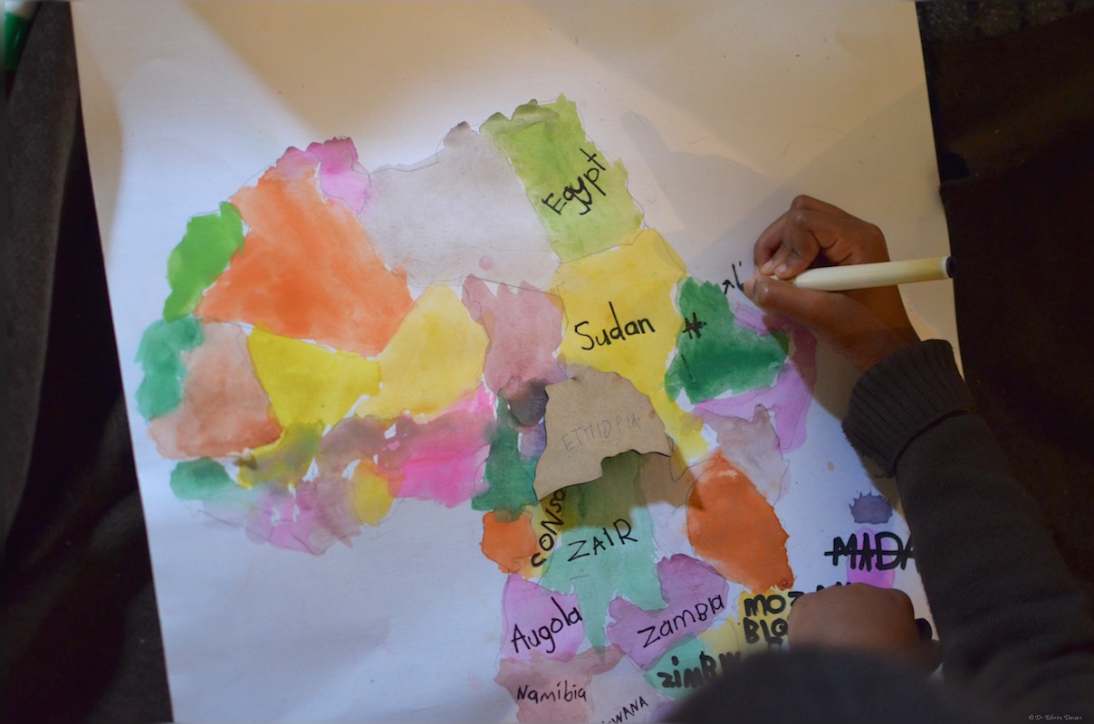
A 6 year old creates her first map of Africa
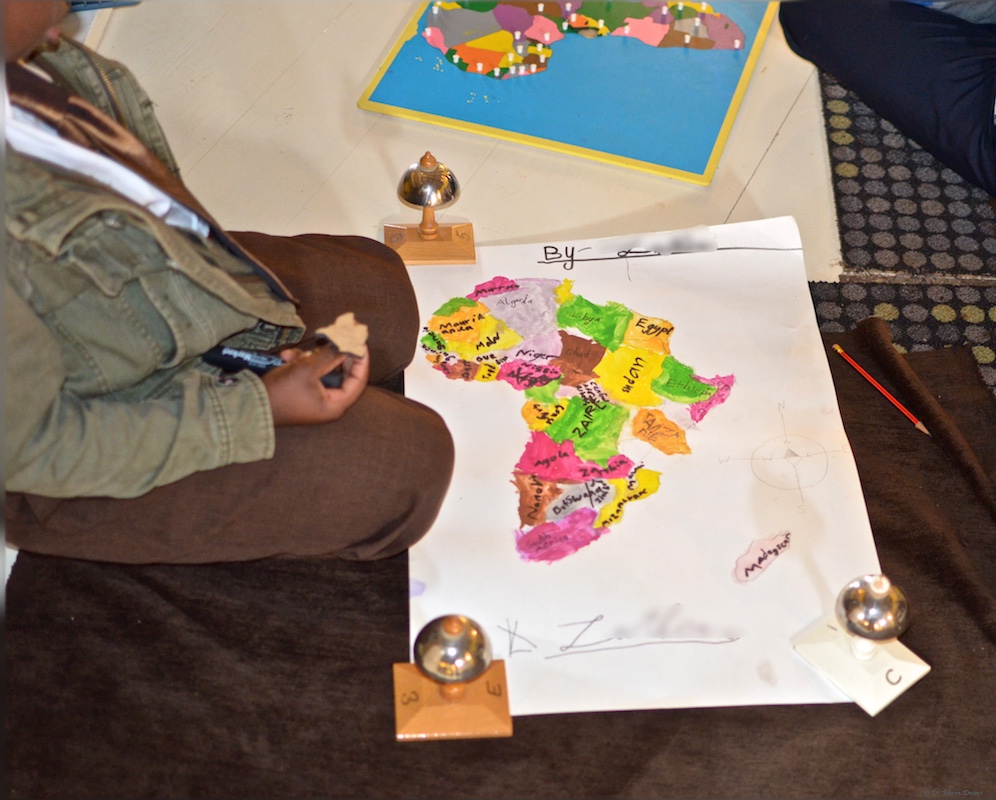
A 7 year old student with his own map of Africa
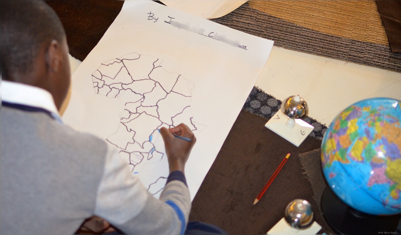
A 12 year old outlines the county boundaries in the African continent
Notice that for the 12 year old the great lakes of Africa are detailed as well as Rwanda and Burundi. To the west The Gambia, Guinea-Bissau and Benin.
Working on Zimbabwe

There is a lot going on in the cartography of Africa

Even cartographers need a break

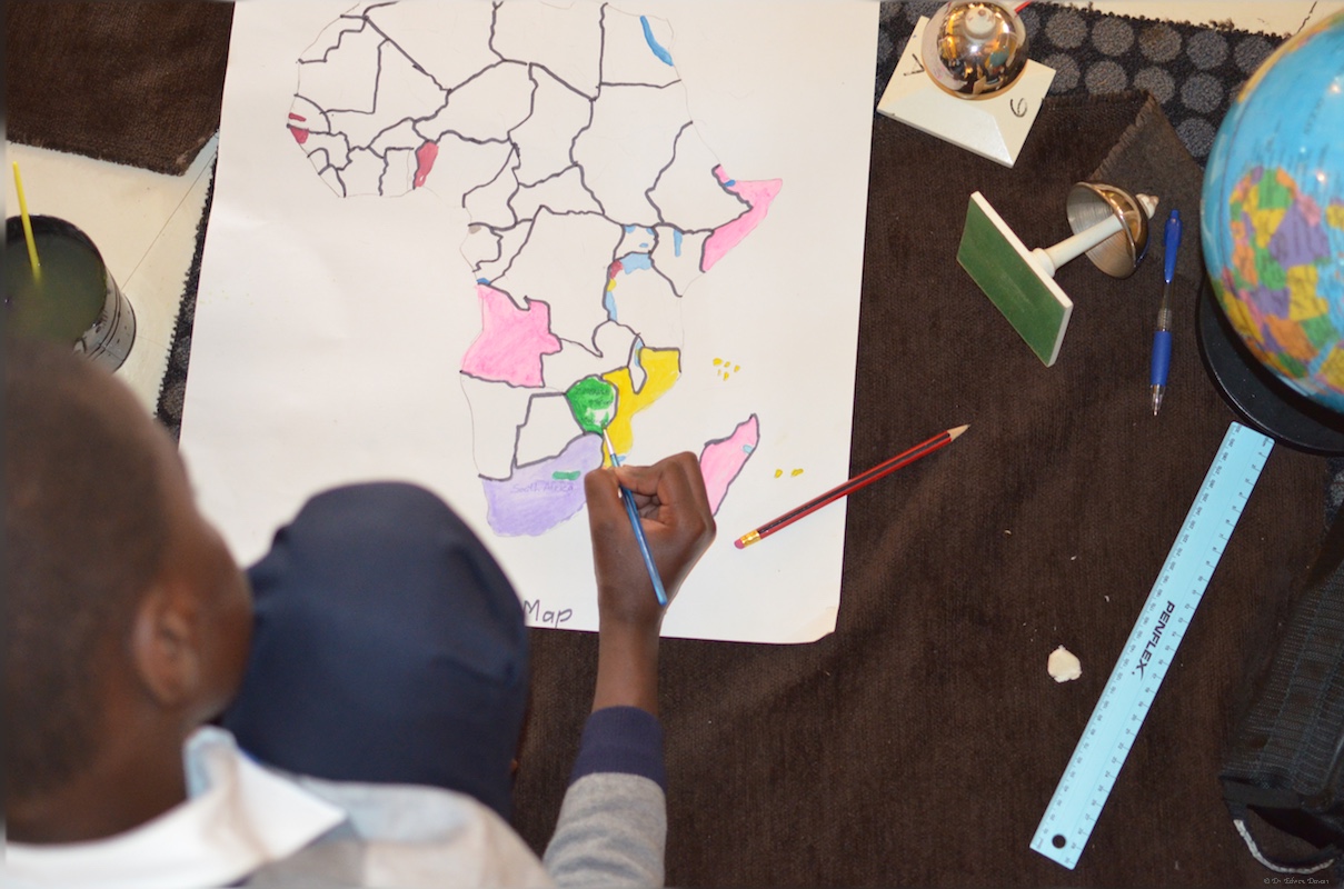
An 11 year olds map of Africa in progress
