
Here our students draw their own maps of the world and regions at war – increasing their geography and history knowledge along the way. Their individual presentations using these maps were excellent.
From a 9 year old:

The Great War Map

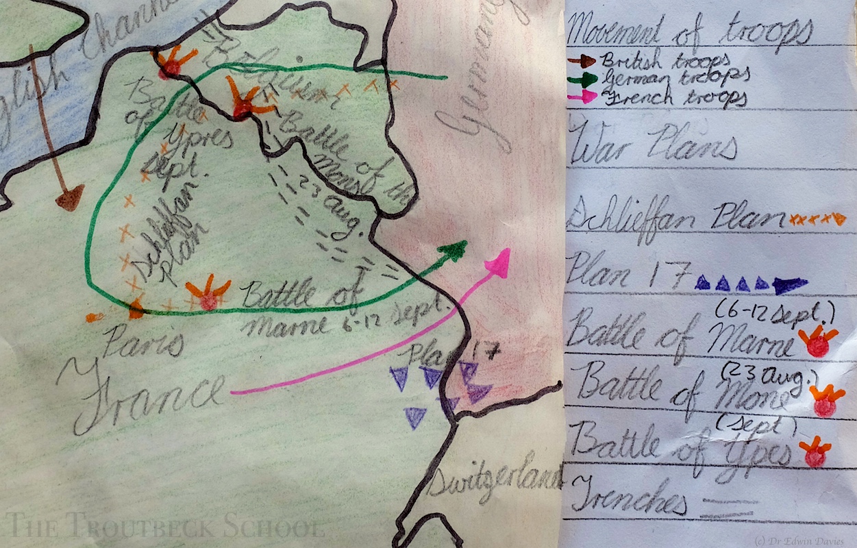
1914 invasion plans

Other Empires joining the war

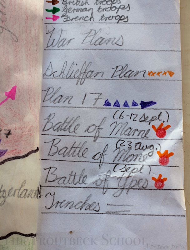
Map key
From a 12 year old:
Europe at war in 1914
Key detail
